Ethiopia’s highlands feed rivers that flow in several directions. The Abbay crosses into Sudan as the Blue Nile, the Omo flows south to Lake Turkana, and the Awash ends in lakes in the Afar lowlands. Knowing where each river drains makes it easier to read the country’s geography. FAO AQUASTAT basin overview
Trace two different routes into the Nile · Why several rivers end in lakes

Rivers that feed the Nile
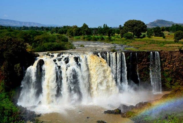
The Abbay flows out of Lake Tana near Bahir Dar and crosses into Sudan. The Tekeze runs out of the northern highlands and feeds the Atbara system. In the west, the Baro and Akobo contribute to the Sobat, which joins the White Nile. These systems reach the Nile by different routes. Nile Basin Initiative’s sub-basin overview
Trace two different routes into the Nile
The Abbay leaves Lake Tana and reaches Sudan as the Blue Nile. Farther west, the Baro flows through Gambella into the Baro–Akobo–Sobat system, which feeds the White Nile. The rivers belong to different branches of the wider Nile basin. The Bahir Dar guide shows where the Abbay leaves Lake Tana. The Gambella guide follows the Baro in the other direction. Nile Basin Initiative’s Baro–Akobo–Sobat assessment.
Why several rivers end in lakes
The Omo flows into Lake Turkana. The Awash ends in a system of lakes in the eastern lowlands. The Meki and Katar feed Lake Ziway, whose outlet runs toward Lake Abijata. These paths help explain why changes in rainfall or abstraction upstream can change a lake or wetland downstream. Trace the Lake Ziway catchment. Lake Ziway watershed research.
Omo, Gibe and Bilate

The Omo–Gibe system drains south toward Lake Turkana. Along its lower course, the Omo Valley contains settlements, wetlands and archaeological deposits. The Bilate belongs to a different drainage system. It flows into Lake Abaya in the central Rift Valley.
Awash and the eastern drainage
The Awash runs through the Rift Valley and across the Afar lowlands. It passes through Awash National Park and feeds a series of terminal lakes.
The Genale, Dawa and Weyb from Ethiopia form the Juba system near the border with Somalia. The Juba reaches the Indian Ocean near Kismayo. The Wabi Shebelle crosses into Somalia as the Shabelle and normally fades into low-lying ground before it reaches the Juba. In unusually wet conditions, water can reach the lower Juba and the ocean. The FAO river atlas traces both routes. For an upstream reach of the Weyb, see how the river passes through Sof Omar Cave.

These rivers support farms, towns, wetlands and power generation. The timing of rain helps explain how their flows change over the year. See the Ethiopia climate guide for the main rainfall seasons.